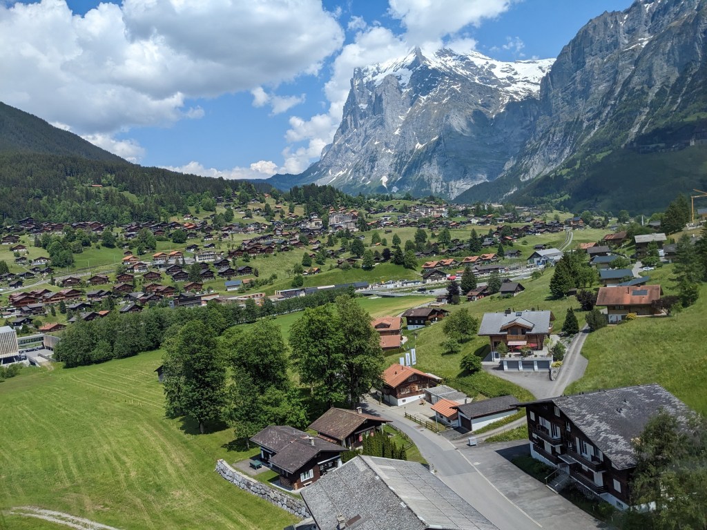
The Eiger is a 3,967-metre (13,015 ft) mountain of the Bernese Alps, overlooking Grindelwald and Lauterbrunnen in the Bernese Oberland region of Switzerland. It is the easternmost peak of a ridge crest that extends across the Mönch to the Jungfrau at 4,158 m (13,642 ft), constituting one of the most emblematic sights of the Swiss Alps. This mountain range and surrounding valleys are commonly known as the Jungfrau region.
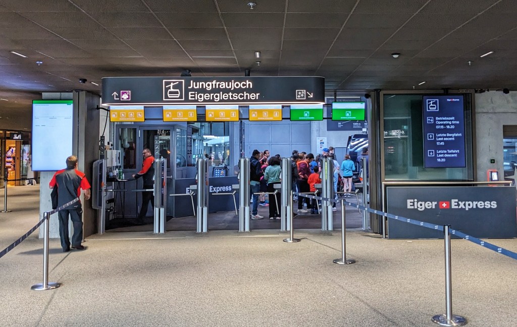
The Eiger Express tricable car takes visitors from Grindelwald to the Eiger Glacier station in just 15 minutes. With a direct transfer option, visitors can continue to Jungfraujoch – Top of Europe and on the slopes 47 minutes faster than previous connections.
The Eiger glacier is situated on the north-west side of the Eiger. In 1973 The glacier had an area of 2.13 km2 (0.82 sq mi), and a length of 2.6 km (1.6 mi). By 2005 its length had reduced to 2.5 km and due to climate change the glacier is currently losing it’s surface area at a more rapid rate.


While the northern side of the mountain rises more than 3,000 m (10,000 ft) above the two valleys of Grindelwald and Lauterbrunnen, the southern side faces the large glaciers of the Jungfrau-Aletsch area, the most glaciated region in the Alps. The most notable feature of the Eiger is its nearly 1,800-metre-high (5,900 ft) north face of rock and ice, named Eiger-Nordwand, Eigerwand or just Nordwand, which is the biggest north face in the Alps.
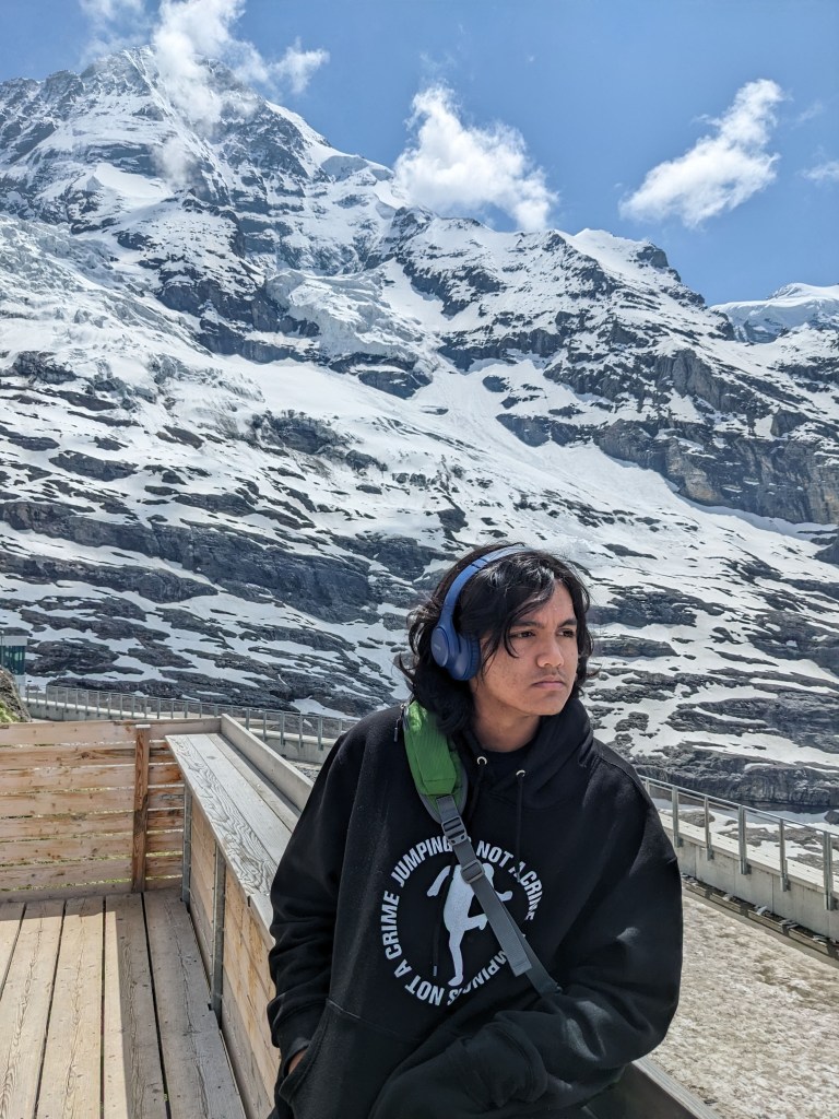
A short path leads from the Glacier station to a nearby platform offering stunning view of the peak. A trail allows an even closer look of the surrounding peaks.


Watch the video clip below for an introduction to the Eiger and Jungfrau region.
