Niagara Falls is a group of three waterfalls at the southern end of Niagara Gorge, spanning the border between of Ontario, Canada and the state of New York in the United States. Formed by the Niagara River, which drains Lake Erie into Lake Ontario before flowing out to the Atlantic Ocean through the St. Lawrence River, the combined falls have the highest flow rate of any waterfall in North America that has a vertical drop of more than 50 m (160 ft). During peak daytime tourist hours, more than 5.9 million cubic ft of water goes over the crest of the falls every minute.
The largest of the three falls, the Horseshoe Falls, straddles the international border of USA and Canada. It is the most powerful waterfall in North America, as measured by flow rate. The smaller American Falls and Bridal Veil Falls lie within the United States. Niagara Falls is famed for its beauty and is a valuable source of hydroelectric power. Balancing recreational, commercial, and industrial uses has been a challenge for the stewards of the falls since the 19th century.
The features that became Niagara Falls were created by the Wisconsin glaciation about 10,000 years ago. The retreat of the ice sheet left behind a large amount of meltwater that filled up the basins that the glaciers had carved, thus creating the Great Lakes as we know them today. Scientists posit there is an old valley, St David’s Buried Gorge, buried by glacial drift, at the approximate location of the present Welland Canal.
The Frenchman Samuel de Champlain visited the area as early as 1604 during his exploration of what is now Canada, and members of his party reported to him the spectacular waterfalls, which he described in his journals. The first description of the falls is credited to Belgian missionary, Father Louis Hennepin in 1677, after traveling with the explorer René-Robert Cavelier, Sieur de La Salle, thus bringing the falls to the attention of Europeans. The Finnish-Swedish naturalist Pehr Kalm explored the area in the early 18th century and is credited with the first scientific description of the falls. In 1762, Captain Thomas Davies, a British Army officer and artist, surveyed the area and painted the watercolor, An East View of the Great Cataract of Niagara, the first eyewitness painting of the falls.


During the 19th century, tourism became popular, and by the mid-century, it was the area’s main industry. In 1843, Frederick Douglass joined the American Anti-Slavery Society’s “One Hundred Conventions” tour throughout New York and the midwest and wrote a brief account of his experience visiting the Falls. In about 1840, the English industrial chemist Hugh Lee Pattinson traveled to Canada, stopping at Niagara Falls long enough to make the earliest known photograph of the falls.
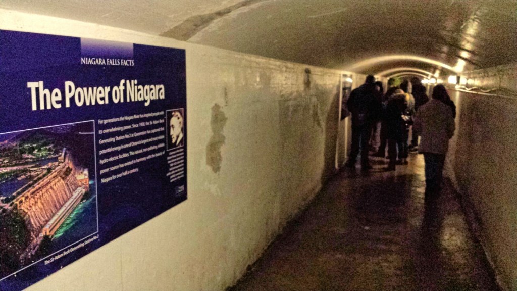
After the First World War, tourism boomed as automobiles made getting to the falls much easier. The story of Niagara Falls in the 20th century is largely that of efforts to harness the energy of the falls for hydroelectric power, and to control the development on both sides that threaten the area’s natural beauty. In 1955, the area between the rocks and Goat Island was filled in, creating Terrapin Point. In the early 1980s, the U.S. Army Corps of Engineers filled in more land and built diversion dams and retaining walls to force the water away from Terrapin Point. Altogether, 400 ft of Horseshoe Falls were eliminated, including 100 ft on the Canadian side. According to author Ginger Strand, the Horseshoe Falls is now entirely in Canada.

Watch the video below for a closeup tour of the falls and the visitor center.
